Toolibin Lake Water Balance
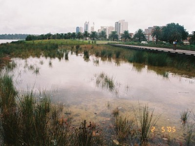
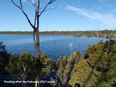
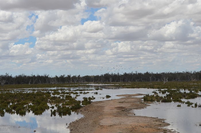
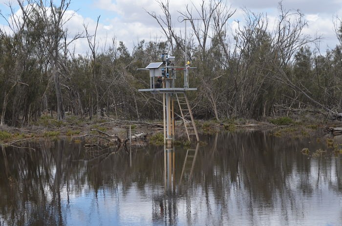
Toolibin Lake is a high-value ecological wetland in the south west of Western Australia. The lake lies in the central wheatbelt, an important agricultural area. It is one in a chain of lakes of the Northern Arthur River system in the upper Blackwood River catchment.
The lake and surrounding reserve are an important breeding site for native flora and fauna. The site has been listed under the Ramsar convention as a wetland of International Importance.
Toolibin Lake is located in an area with low rainfall and high evaporation. The lake has a relatively small catchment and streamflow into the lake is variable and intermittent. There is a small outlet that only flows after large rainfall vents. Water ponded in the lake generally evaporates or is taken up by vegetation. The lake can be dry for extended periods of time.
The lake and catchment is affected by increased dry land salinity associated with clearing of native vegetation for agriculture. Increased salinisation of valley floors in the catchment has led to increased salinity in stormwater inflows to the lake. Local groundwater levels and salinity have risen over time.
A series of rectification measures have been implemented to help prevent impacts of salinization on the lake ecosystem. These include bores that lower the water table under the lake bed, diversion of saline low flows from part of the catchment around the lake and revegetation in parts of the catchment.
The hydrology, hydrogeology and ecosystems of the lake and its catchment have been extensively studied over time.
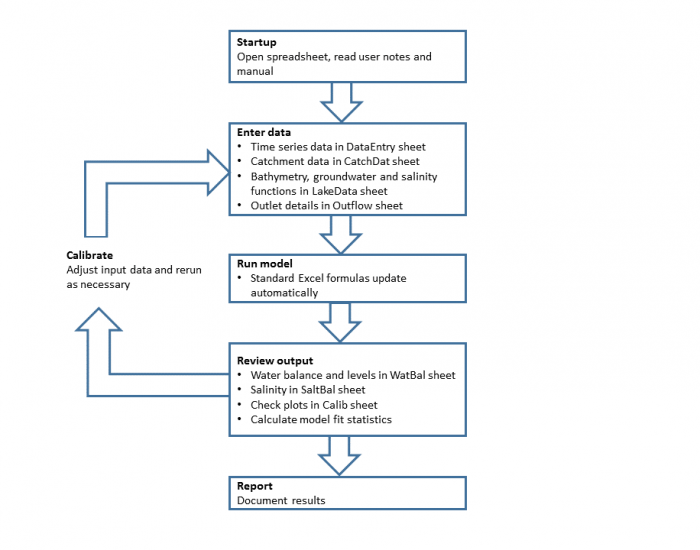
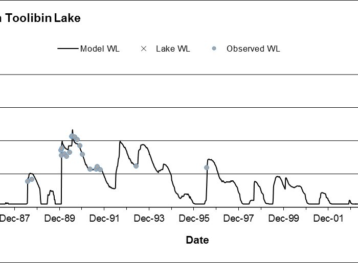
One of the models applied to the lake is Watbal. Watbal is a water and salt balance model for Toolibin Lake, developed originally by Adrian Peck. The model is coded into a Microsoft Excel spreadsheet and predicts lake water level and salinity on a monthly time step. The model was developed in 2002 and used to simulate the lake water balance from 1980-2000. The model and variations of it have been used in a number of studies since then.
Client
West Australian Government - Department of Parks and Wildlife
What we did
Hydrologia’s role in this project was to update and document the existing Watbal model. This involved:
- Extending the period that the model covers (to 1978-2015);
- Updating some of the details of the model with newer relationships and data; and
- Producing a user manual.
Deliverables
The deliverables for the project were the user manual, model and supporting data files.