Hydraulic Modelling
Predicting stormwater and flood flow conditions
Hydraulic modelling involves taking catchment flows from a hydrology model and using hydraulic models to simulate flow conditions at a structure or location, such as a road crossing. This modelling is used to either understand stormwater flow or flood conditions or for design of structures.
Flows input to the hydraulic model are usually derived from some form of hydrologic analysis, either as a separate process to the hydraulic modelling or embedded in the same model. The bigger the catchment, the more likely it is that these processes will be separated.
Good hydraulic modelling allows optimisation of the size and nature of structures, which can reduce construction and maintenance costs, and helps quantify at what size event structures will fail. Understanding how a structure will perform under a range of conditions is an important part of the design process.
What we do
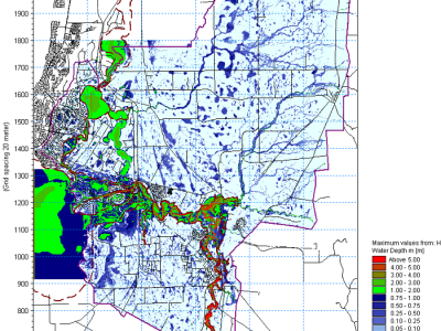
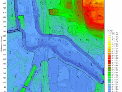
We use a range of hydraulic models and numerical techniques. These tools can vary from simple, such as an empirical culvert flow equation, to complex one and two-dimensional modelling.
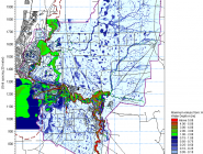
Two dimensional models (such as Mike 21) are increasingly used in design and planning studies as they allow a detailed representation of complex overland flow. Traditional one dimensional models (such as HEC-RAS or Mike 11), though, are still a versatile tool for hydraulic modelling.
We often use a combination of techniques for a particular job. We also draw heavily on our advanced data management and numerical techniques to help develop and test the models and interpret and present results.
Hydraulic modelling is typically undertaken as part of a larger project, including flood risk studies and design projects.

