Yandi Flood Model
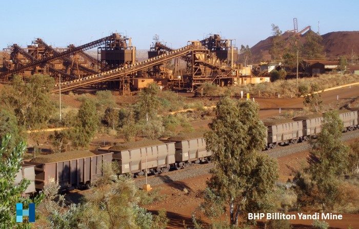
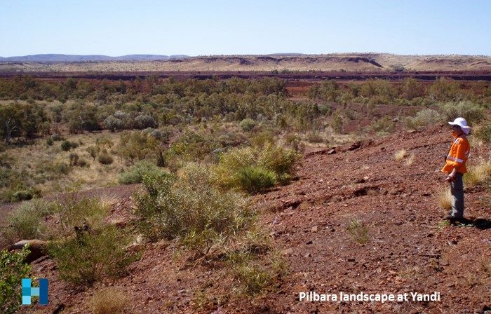
The BHP Billiton Iron Ore Yandi mine is located in the Pilbara region of Western Australia, northwest of Newman. The mine opened in 1991 and has been operating continuously since. The mine’s current capacity is more than 40 million tonnes of ore per year. The mine is one of several operated by BHP Billiton Iron Ore in the Pilbara. Ore is mined by open-cut, crushed and screened at the mine then transported by rail for export from Port Hedland.
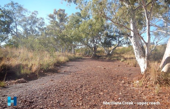
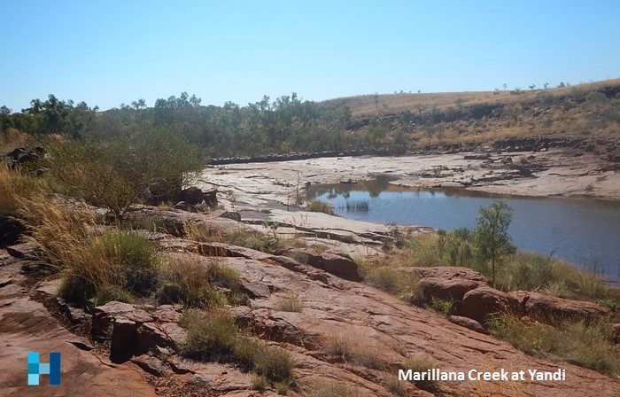
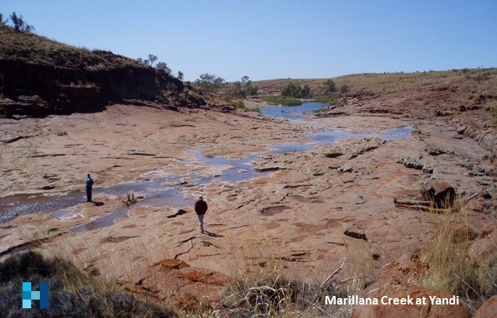
The mine site is located across Marillana Creek, a tributary of Weeli Wolli Creek and the Fortescue Marsh. Marillana Creek is a large stream which flows for short time after heavy rainfall events, often associated with cyclones. Flood flows in the creek can exceed 2,000 m3/s.
The mine produces iron ore from a number of open pits adjacent to the creek. To mine safely, the characteristics of the creek hydrology need to be well understood. Structures are needed to protect the mine for flooding and predictions of water levels in flood events are needed for input to the design process. Stormwater drainage on the mine is complex and changes frequently, as new infrastructure is built, so planning tools need to be able to respond appropriately.
Client
BHP Billition Iron Ore
Our work
Robin has worked on the site for more than eight years.
During that time a comprehensive model of the creek and mine site was developed using the DHI Mike SHE software. Hydrology of the catchment was characterised and the model calibrated against gauging station data from the nearby Flat Rocks gauging station.
The resulting model used a rain-on-grid approach, covered the whole site and contributing catchments, and is able to be readily adjusted to representing changing mine conditions.
Deliverables
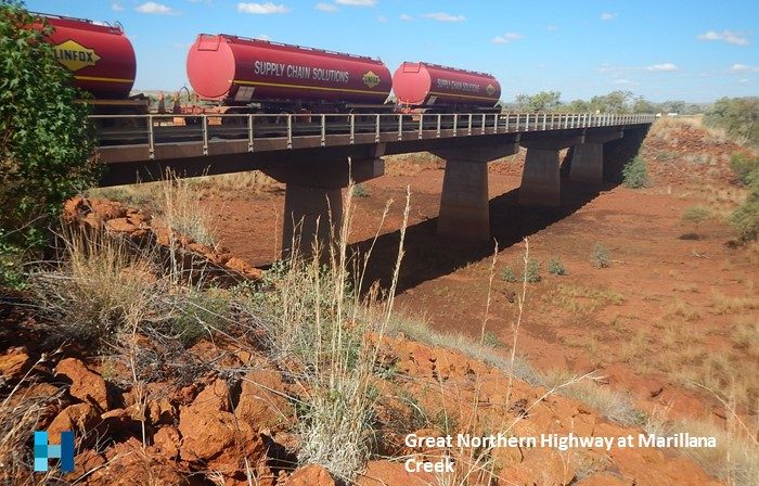
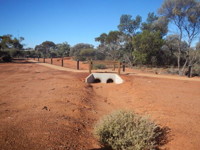
The model was used for input into design and planning studies. Predicted water levels were used for sizing drains and channels, hydraulic structures (culverts and road crossings) and sizing levees.

