Flood Risk Assessment
Understanding and managing flood risk
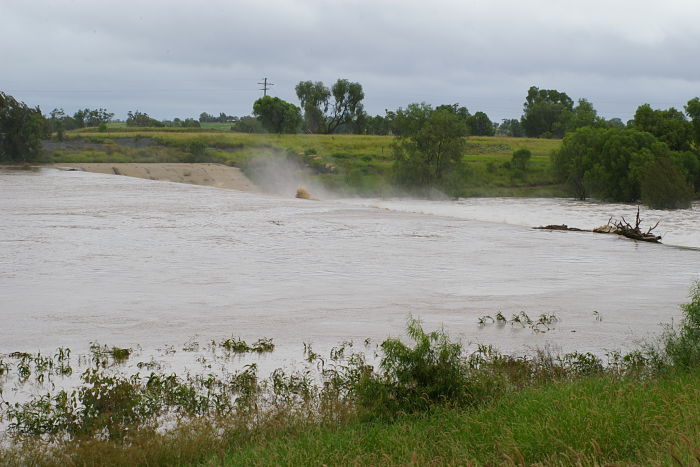
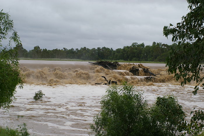
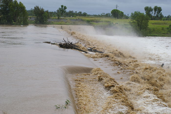
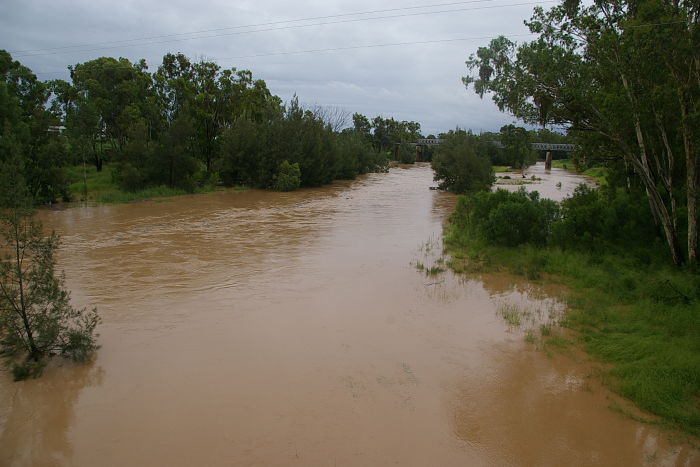
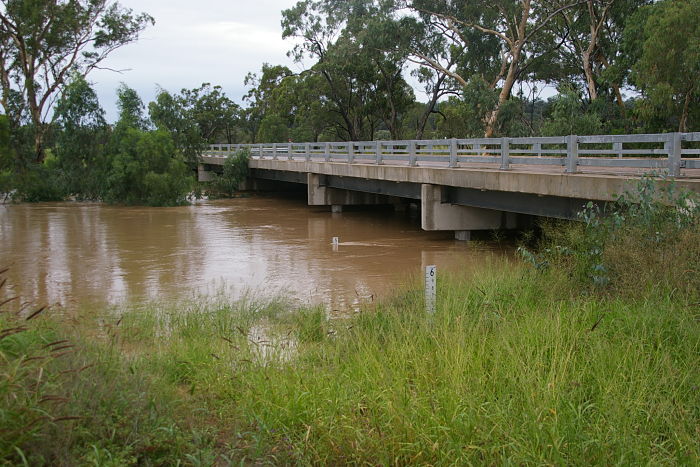
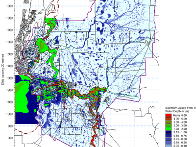
Understanding and predicting flooding and the associated risk to people and infrastructure is an important part of emergency and operational planning and design studies.
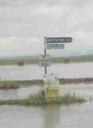
Being able to predict flood conditions, such as peak water levels, depths or velocity in an area is important for planning. This information is used by local and state authorities to help manage development in floodplains. Emergency services use it to plan responses during floods.
Predicting flood levels at a site (such as a mine pit) or a location (such as a road crossing over a creek) is important for understanding the risk of impact from flooding. Banks and regulatory authorities often require a flood risk study as part of their approvals processes. Site operational staff require an understanding of local flood characteristics in order to be able to manage the site and the safety of people at the site during intense rainfall and flood events.
What we do
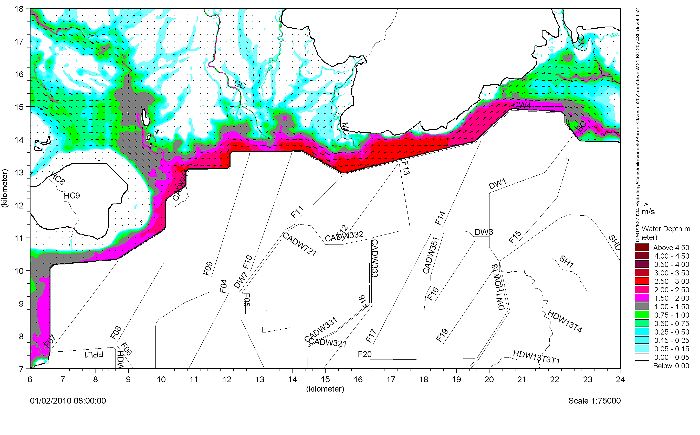
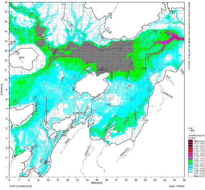
We characterise and understand flood risk for mine and industrial sites, rivers, floodplains and development areas.
We use a range of tools and analytical techniques (such as two dimensional modelling) to predict peak flood levels, velocity and depth. We interpret these model results to help quantify flood risk, to develop emergency management plans and develop designs for flood management infrastructure.
Results of flood studies are often documented in floodplain development plans, incorporated into site operation manuals or considered as part of the design process.